🎵 Audio guide
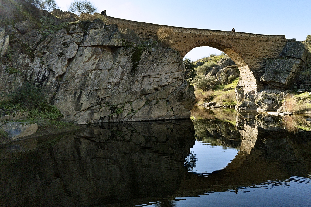
The area in the north-east of Salorino consists of gently rolling hills which become higher as we get closer to the River Salor. The waters of the rivers los Molinos, el Getrero and las Torres have carved out deep scars in the landscape with their steep gorges. This protected area is part of the Tagus International Natural Park. The Puente del Infierno trail is a circular route with the designation PR-CC 94. It passes through gently rolling hills, with fields or wooded pasture, and steeper craggy areas closer to the river, crossed by the bridge which gives its name to the trail.
The trail begins close to the Plaza de Torrijos, in Calle Herreruela and joins the Alcántara drovers’ road. We follow this to the Laguna de la Cigüeña ( the Stork’s Lake) and at the next junction we leave the drovers’ road and turn left onto the path that crosses the N-521 road.
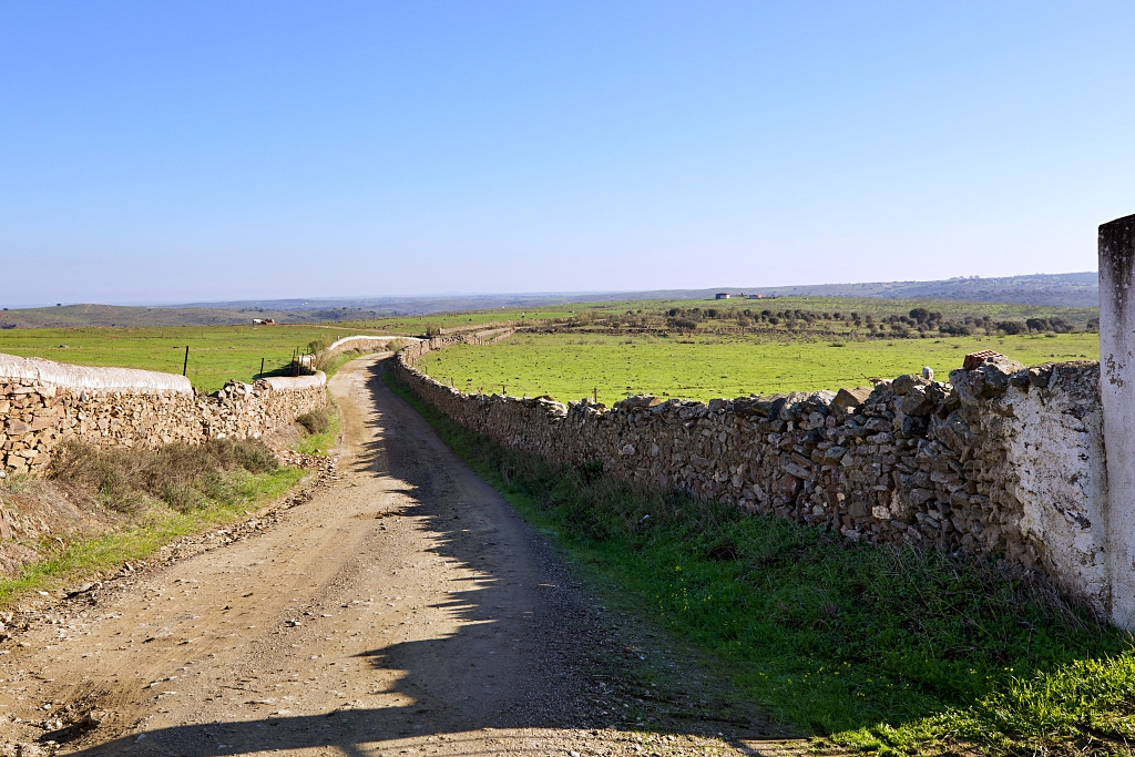
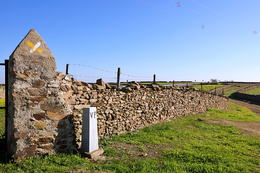
The path is bound by old stone walls which enclose small plots of land until we reach the gateway to La Mediana estate. We cross this and turn left to continue downhill towards the waters of the Rivera de Getrero close to the boundary of the natural park.
Without passing through the gatewe turn right and climb the slope. The path changes direction and now offers magnificent views of Salorino and its surroundings, with the Sierra de San Pedro in the background. We pass through an area with many rainwater channels.
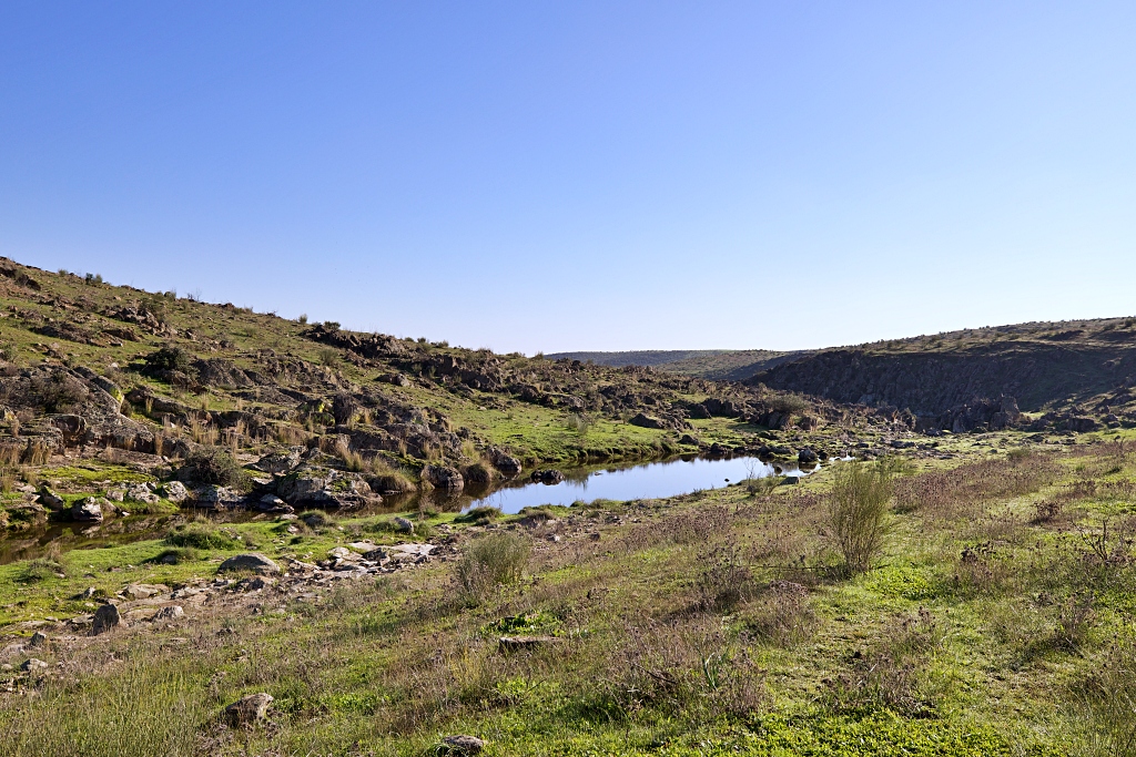
Una vez se abandona la cerca se llega a la mesa, lugar donde acaba el camino y comienza una vereda, buen momento para tomar un respiro y disfrutar de unas magnificas vistas del entorno. En un descenso, a veces pronunciado, se prosigue por una vereda que bordea un roquero tras el cual se atisba un profundo cauce.
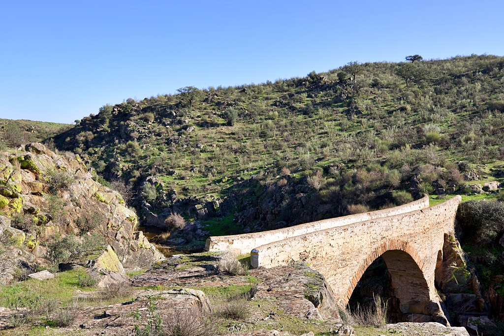
We can see the Puente del Infierno in the distance, between craggy cliffs, as the path climbs and widens to become a track. On the right-hand side there are ruins of stone huts and from the top we can make out the Rivera de las Torres. We turn right and as we ascend, our surroundings gradually turn into dehesa, pasture dotted with trees.
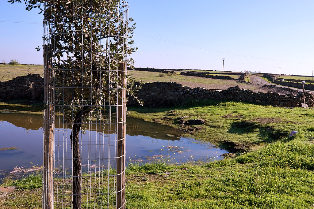
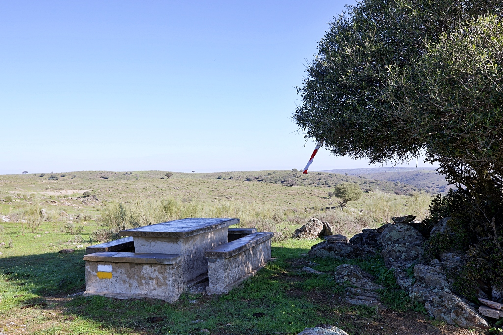
The trail continues between holm oak trees until it reaches a fork, where, on the right, there are ruins of a bujio, a temporary shelter for shepherds, sheltered by a holm oak tree. At this point we pass a lake which serves as a watering hole for animals.
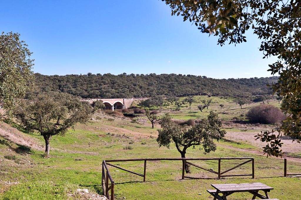
Opposite a farm house we briefly re-join the drovers road, turning right onto it. Shortly afterwards we leave it and turn right to cross the Rivera de los Molinos on the footbridge, which was once part of the old main road. Passing the los Molinos picnic area, we re-join the drovers road, pass under the N-521 and return towards our starting point.
Volvemos sobre nuestros pasos hasta pasadas las edificaciones agrícolas que dejamos a nuestra izquierda, entonces giramos 90º para ascender una pequeña ladera que no lleva a un mirador natural que nos deja impresionantes vistas del entorno. Un poco más adelante pasada una cerca llegamos al punto de partida.